Central African plot network
About the network
See a MAP showing the DISTRIBUTION of plots.
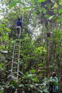
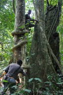
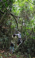
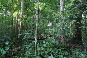
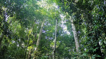
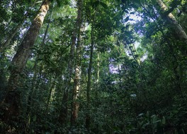
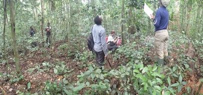
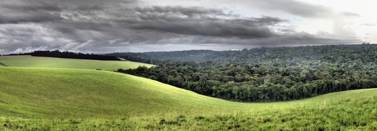
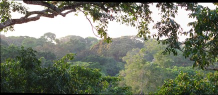
To help document the role and response of tropical forests in a global change context, the French National Research Institute for Sustainable Development has been collaborating since 2010 with local institutions in Cameroon, Gabon and DRC to set up a network (or observatory) of permanent forest inventory scientific plots.
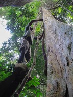
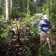
Data acquisition follows international methodological standards (Dallmeier 1992) to measure above-ground biomass and inventory tree species within 1 ha square plots.
Taxa identification is conducted through the following steps: Experiment field botanists conduct a first identification on the field. When possible, herbarium samples are collected for (i) each species of a plot present and (ii) all unidentified, or uncertain identification, individuals. Herbarium samples are collected in at least two duplicates. One stay in the host country while another is stored at a unique dedicated herbarium collection for tree inventory in Central Africa at the Herbarium of the Université Libre de Bruxelles (Belgium) (BRLU). This collection is curated by BRLU in collaboration with the Missouri Botanical Garden (Central African program).
A particular attention is given to the quality of plot georeferencing (Réjou-Méchain et al. 2019) with the prospect of remote sensing product calibration/validation. Sampling of plot location is oriented towards representative forest types, and not fully random. It is therefore more suitable in a model-based statistical framework than in a design-based one (McRoberts et al. 2015).
In terms of scientific output, parts of the plot network has already been used in ecological and remote sensing studies.
See the publication section for more information.
